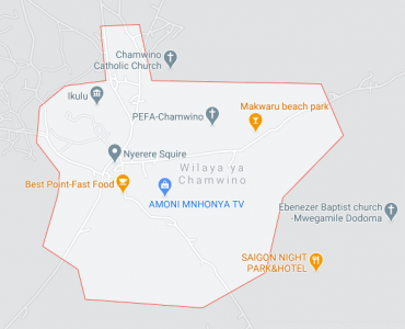
Chamwino District Council is one of the eight local government authorities in Dodoma region. It lies on the central plateau of Tanzania in the western bearing along Dar es Salaam road. The district has a total area of 8,056 km. square.
Administratively the district council is divided into 5 divisions 36 wards, 107 villages and 820 hamlets there are also two parliamentary electoral constituencies namely Chilonwa, and Mtera.
Agro-ecological zones
|
Zones |
Features of Zones |
Rainfall |
Soil |
Economic activities |
| 1
|
Very dry flat undulating plain with a low population. Almost entirely used for grazing except in west where there is tsetse fly rainfall very unreliable
|
400mm
|
Reddish-brown loamy sands. Grey clay in depressions. Dark grayish brown loams in hills to east
|
Crops grown include sorghum, simsim, groundnuts and sunflower
|
| 2
|
Flat undulating hills in south, most densely populated because of Dodoma town rainfall low and unreliable
|
550-650mm
|
Reddish-brown or dark loamy sands
|
Crops grown include sorghum millet, maize, mostly north where rainfall slightly higher, castor, groundnuts, tomatoes, onion and vines for cash.
|

Halmashauri ya Wilaya ya Chamwino
Sanduku la posta: 1126 Dodoma
Simu ya Mezani: 026 296 1511
Simu ya Mkononi:
Barua Pepe: ded@chamwinodc.go.tz
Hakimiliki©2017 Halmashauri ya Wilaya ya Chamwino. Haki zote Zimehifadhiwa.